Mild and dry weather continues Tuesday before a soggy and windy midweek
PROVIDENCE, R.I. (WLNE) — What a great way to kick off the work week. Unfortunately, it looks like this was the likely the nicest day.
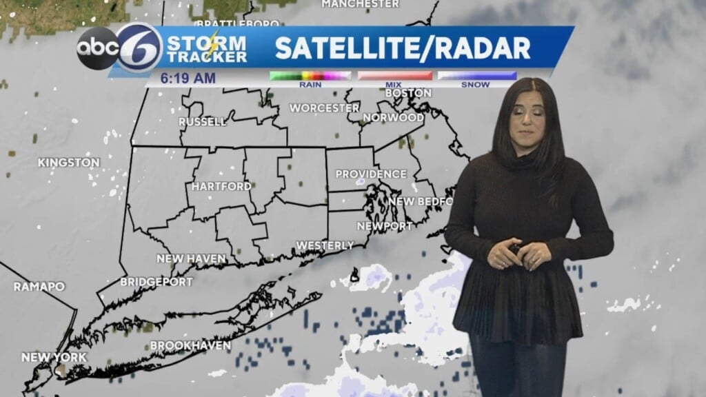
Overnight, clear skies will eventually become obscured, as patchy fog develops after midnight.
It will not be as bright on Tuesday, but it will still be a nice day with a features a mix of sun and clouds – a little bit cloudier in spots, especially with some fog hanging on.
Temperatures will reach the 50s away from the shore, as a south wind will keep coastal spots in the 40s much like they did on Monday,
Rain arrives early Tuesday night, and winds will begin to pick up. Periods of rain continue all day Wednesday with wind gusts 25-40 mph.
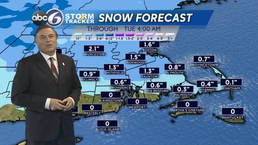
The back edge of a strong cold front should move through our area around midnight Thursday, with rain briefly changing to a non-accumulating snow as colder air crashes in.
The sun returns Thursday, but it will be a blustery and cold day, with morning wind chills in the teens and afternoon wind chills in the 20s.
Temperatures are moderate on Friday with continued sun. Temps continue to climb into the weekend – 50s Saturday to near 60 on Sunday.
However, an unsettled pattern shaping up could ruin what would be an otherwise lovely weekend.
While still uncertain, mostly cloudy skies with the possibility of showers is the forecast for now.