Heat Wave Continues
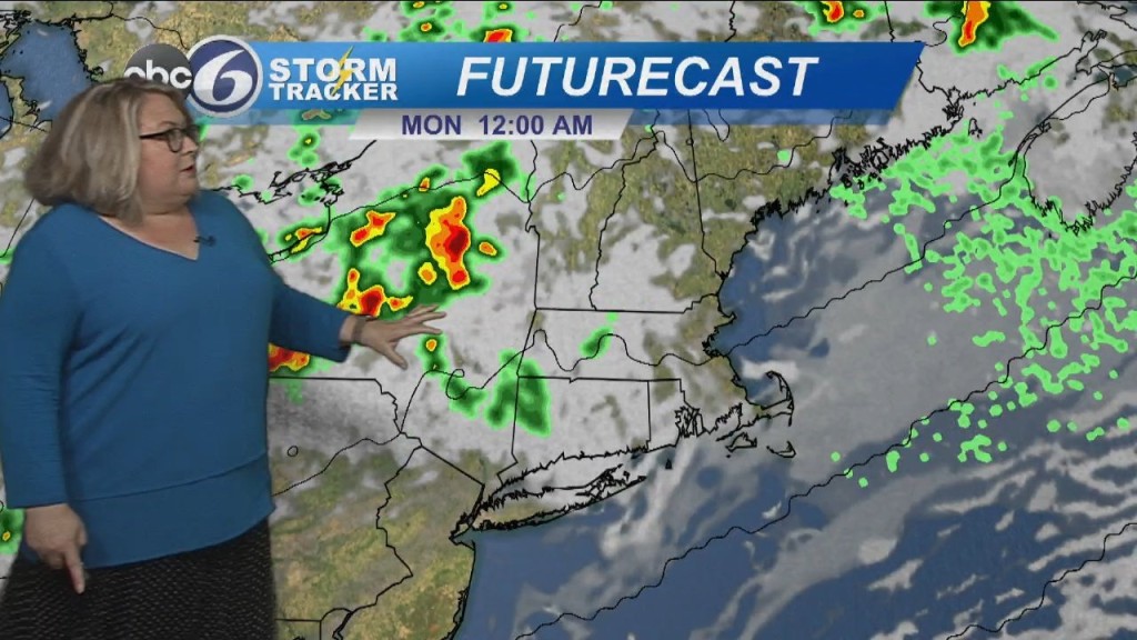
Sunday will be another scorcher with temperatures starting in the mid-70s and climbing fast to record breaking levels. Sunday, July 23rd has a long standing record high temperature of 94 from 1933. Weather-wise, expect lots of sunshine and high humidity through the day. Feel like temperatures will be near 100. Everything changes Monday. Clouds will abound as a cold front comes slowly through. It will bring showers and the chance of thunderstorms into Monday night. We will clear behind the front for Tuesday, and it’s going to be so much better! Tuesday will be sunny and cooler and much much more comfortable humidity-wise. Thus trend continues into Wednesday as well before we move humidity back into Southern New England for the end of the week.