Snow to freezing rain on Monday
PROVIDENCE, R.I. (WLNE) — Tonight’s storm will develop light snow showers after midnight tonight and will become steadier light snow around daybreak.
Lows tonight will drop into the mid 20s. The height of the snow accumulations will take place between 6 a.m. and noon.
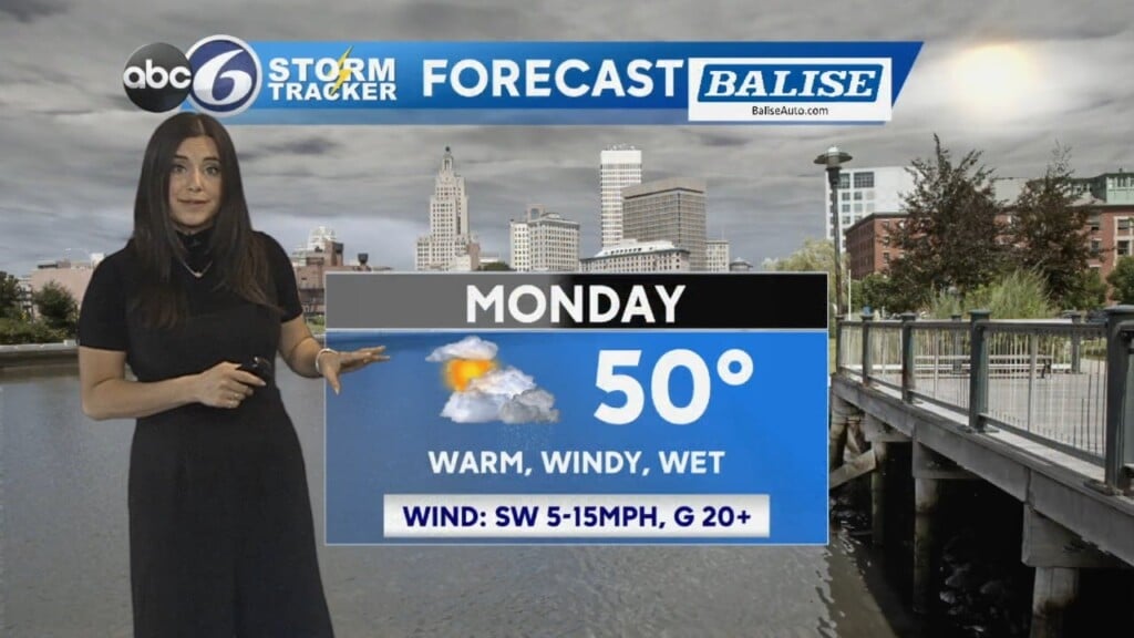
As we move into the midday hours freezing rain and rain will be working up from the south and by the afternoon temperatures around Providence will climb to about 35° and reach to the upper 30s down along the coast, so any snow accumulations in these regions will come to an end.
However, the northern and northwest parts of the state will stay close to 32° and freezing rain will mix with snow, creating icy conditions.
As the storm passes the region into the evening hours we may briefly change back to a period of light snow, and most everyone will be done by 9 p.m. with temperatures falling back below freezing. Thus, anything that is wet and untreated will become icy during that time.
All in all, snow totals look to be 1-2 inches from Providence to the south coast and 2-3 inches, with isolated spots of four inches, north and west of the city.

Dry and unseasonably cold weather arrives Wednesday and Thursday.
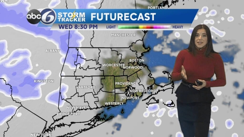
The next storm will try to take a run at southern New England between Thursday night and Friday.
Like the current storm, it will fight to progress northward up the East Coast. This means a low-end snowfall or a miss are viable options for this storm, but it must be watched as the forecast evolves.
ABC6 Meteorologist Bill Gile