Stepping back into that wintry feel!
In the wake of last night’s storm colder air has moved into the region as Low pressure now strengthens in eastern Canada while High pressure builds in from the Great Lakes. Wind chills started off this morning making it feel like it was in the teens this morning and won’t improve that much for the afternoon with wind chills in the 20s. Winds today will be gusting 25-40MPH and with very dry air in place there is an elevated risk for fire danger. At least it will be sunny today into tomorrow thanks to that High pressure system sliding in from the west.
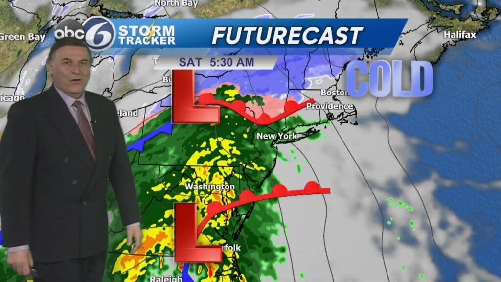
A more potent storm arrives on Saturday with a chilly rain turning heavier throughout the day. Rain totals of 1-2.5″ are expected, with locally higher amounts. Time to watch the rivers again! Fortunately, this looks to be a progressive system so the rain looks to end late Saturday night with drying conditions moving for Sunday, but it will turn a bit colder and rather breezy again.
Temperatures will remain below average heading into next week.
ABC6 Meteorologist Bill Gile