Here Comes The Rain (Again)
We’ve totally turned the tables on Wednesday’s weather– now? We’re in the thick of the clouds, and fog is starting to form ahead of our next storm. We’ll continue the trend tonight until, not long after midnight, the rain begins.
We’ll have periods of heavy rain through mid-morning on Friday. We also have a chance of a little wintry mix in northern Providence County and northern Bristol County (MA), but that would be very brief. Overall, the rain is the name of the game.
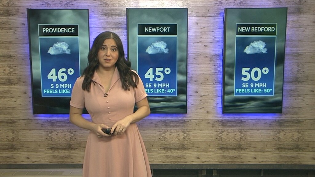
After the rain ends, it’ll be windy and brisk with high temperatures in the mid 40s to low 50s. Clouds will hang around for a while, but start to part later in the afternoon.
The weekend forecast looks pretty decent– it’s not perfect, but it likely won’t wreck your plans. Saturday will bring sun to start, with clouds moving back in in the afternoon. Highs will be in the mid to upper 50s. A weak front moves through southern New England late Saturday night. That front, however, doesn’t have much energy or moisture, so while we may see an evening shower pop up, we’re not looking at any heavy rain.
The biggest impact of the front will actually be the highs on Sunday. Numbers will be in the mid to upper 40s — not far from average, but clearly not as warm as it’s been. Both weekend days will be windy as well, with gusts in the 20s and 30s! Hold on to your hats!