Hot and humid week ahead
Clouds slowly thin out this afternoon
Good morning!
It’s a muggy start this morning with lots of clouds around, although we will begin to see some clearing as we head into the afternoon. Highs today will climb into the low 80s inland and mid 70s along the South Coast with a light breeze out of the South.
Today’s highs are seasonable for this time of year, but today is just about as cool as it will be this week. By Wednesday, our inland highs will be up close to 90, with dewpoints in the mid 70s – that’s the “air-you-can-wear” type of humidity. We expect heat advisories could be issued for Southern New England Wednesday/Thursday with feels-like temperatures between 95-100 degrees in some spots.
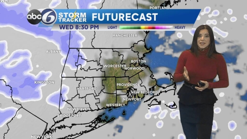
Although some storms are possible through Mass. west of Worcester County this afternoon, we will stay mostly dry today – aside from a few showers overnight tonight. These may linger into tomorrow morning, so expect a few showers and possibly a rumble of thunder by the time you wake up tomorrow. We’ll be mostly dry midweek, and then storm chances return Thursday and Friday.
Have a great week!
-Tyler