Third Heatwave of the Season Possible This Week
It’s been a toasty start to the workweek with TF Green hitting a high of 91 today, and many cities around Southern New England following suit.
Overnight, lows will fall into the upper 60s– warm for this time of year, no surprise. It’ll be muggy as well, with some patchy fog possible.
Tomorrow will, once again, be hot and muggy– even a little bit muggier than Monday has been. Temperatures will be in the mid 80s for the coast, and upper 80s/low 90s inland. It’ll be mostly sunny, and between the sun, heat and humidity, it’ll feel uncomfortable toasty at times. Make sure you’re being thoughtful about staying hydrated and finding time to cool off in the A/C.
Wednesday will be very similar to Tuesday with highs in the mid 80s for the coast and upper 80s/low 90s inland. If Tuesday and Wednesday have highs of 90+, we’ll officially have our third heatwave of the season.
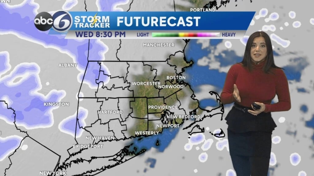
Wednesday evening, we finally have a chance of a shower or two in the evening… though the chance is somewhat slim. Rain chances go up as a cold front comes through on Thursday. This could spark showers and even a few thunderstorms as well. We could really use the rain, as dry and drought conditions become more apparent in parts of Southern New England.
Stay safe, and stay cool!
— Kristina