A dry start to Monday, but a wet finish
High pressure will be moving away from the region tonight and a frontal complex will be approaching from the west while a wave of Low pressure comes up the coastline. Clouds will be taking over for Monday morning and light showers will be developing for the mid-late afternoon and evening hours. High will climb to upper 50s. In the wake of this activity, Tuesday will be a a sunny, but blustery day with winds gusting 35-40 MPH.
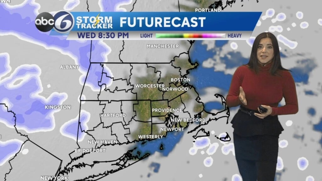
The rest of the week will feature showers every other night, Wednesday night and again Friday night. Each time one of these weather systems races through the region we’ll experience rather windy conditions as well. High temperatures will be mostly in the mid 50s throughout the week.
ABC6 Meteorologist Bill Gile