A warming trend in store this week
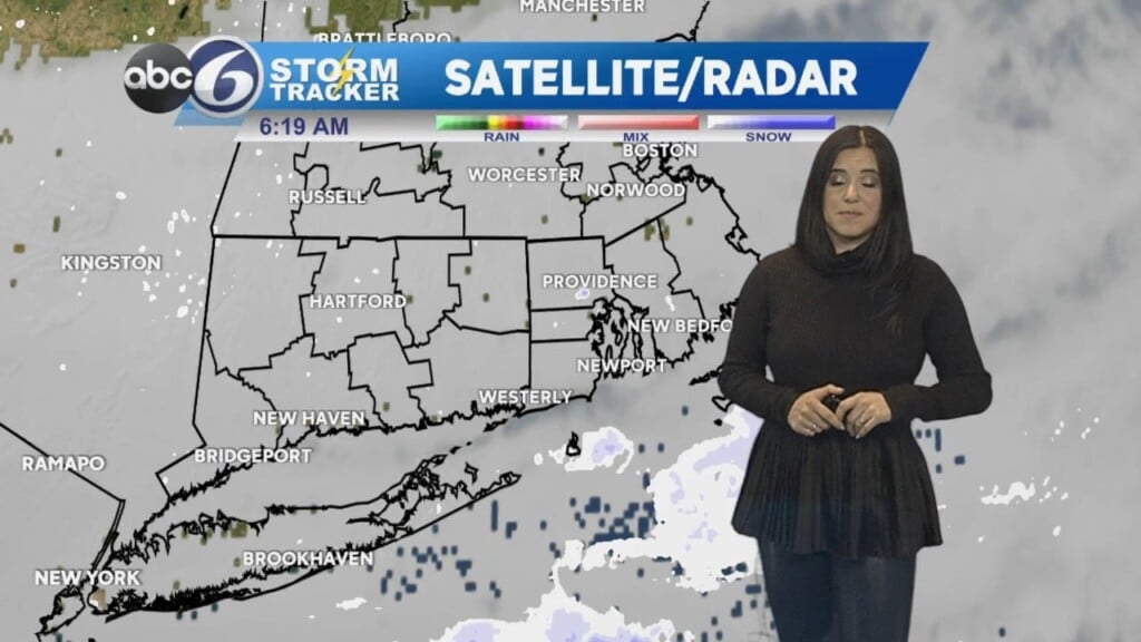
PROVIDENCE, R.I. (WLNE) — We’ll still be dealing with ‘ocean effect’ clouds around Rhode Island tonight, but over Plymouth County and on to the Cape there will be ‘ocean effect’ flurries and perhaps a steadier light snow shower later tonight.
Anything that falls in those locations should only amount to a dusting in spots, if anything on grassy surfaces.
However, if you are driving out those regions, be cautious, as there could be some isolated slippery spots on any wet or damp untreated surfaces.
The low tonight will dip into the upper 20s and low 30s.
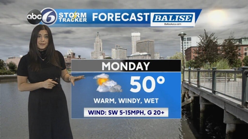
Building high pressure will continue to supply relatively quiet weather Wednesday, but we will start off with clouds in the morning that will breaks to some sunshine for the afternoon with highs reaching between 38-40°.
Thursday and Friday will feature a good deal of sunshine and highs in the mid 40s.
Clouds will increase for Friday night with perhaps a passing rain shower around that will lead the way for temperatures to climb into the 50s over the weekend!
ABC6 Meteorologist Bill Gile