After second wettest January on record, February begins with a quiet stretch
9.33" of precipitation was second only to 1979 (11.66")
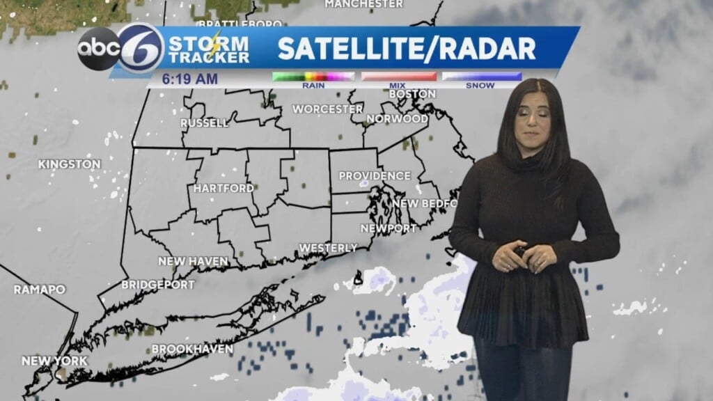
PROVIDENCE, R.I. (WLNE) — Skies remain mostly overcast this evening with a few snow showers, likeliest for Cape Cod and the Islands, as our storm system pulls away.
Only a trace of rain/snow fell at T.F. Green today, finishing just shy of the wettest December and January on record (as well as the second wettest January).
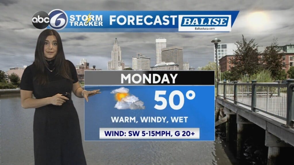
Brisk winds overnight will make the low-20s feel even colder. Expect a cold day on Tuesday with highs remaining below freezing.
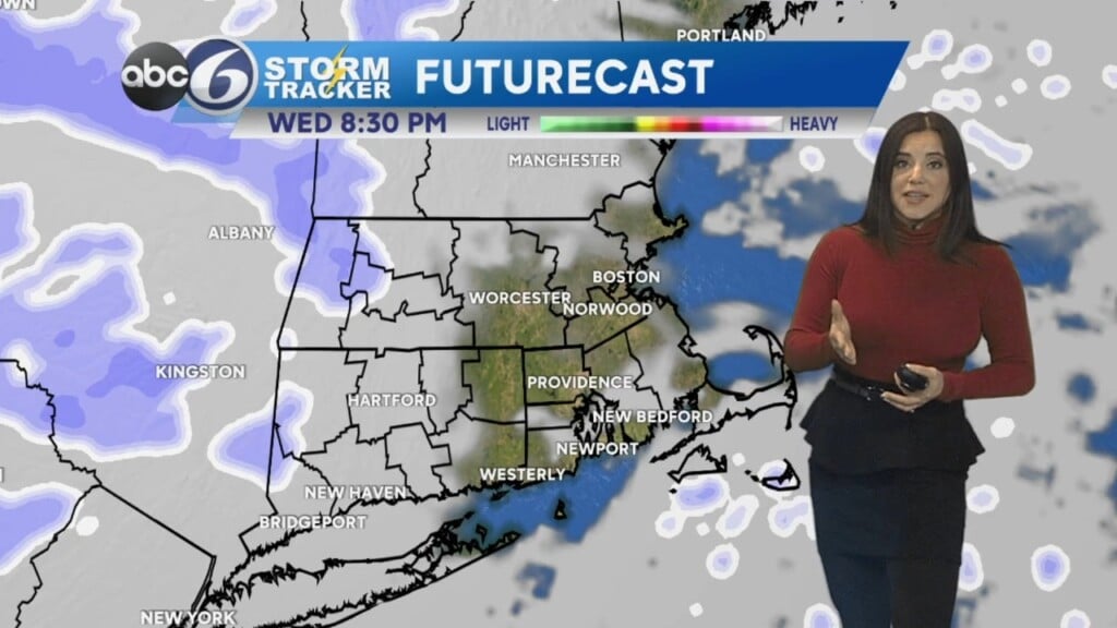
Outside of a snow shower on Tuesday, temperatures are moderating by Wednesday back to seasonable.
Thursday could see a few rain or snow showers later in the day, with skies clearing into Friday. Cold air then rushes back in for the weekend, with bright sunshine to boot.