Another round of severe weather possible late Thursday
Flash flooding is the primary concern, but there is a small tornado risk as well
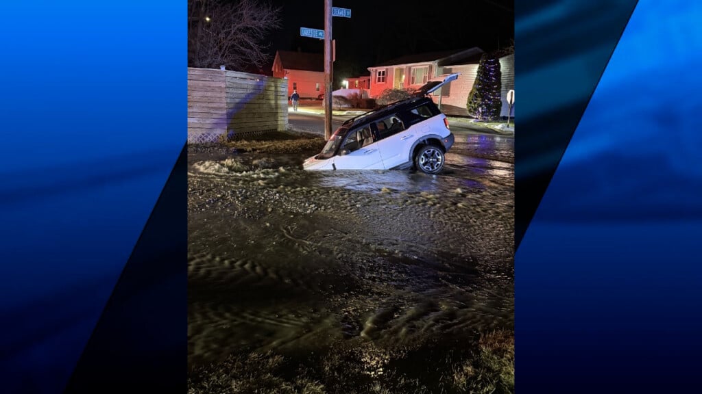
WLNE Providence, RI — Just one day after flooding rains and tornadoes ripped through Southern New England, we are now facing the same risks again tomorrow.
Sun will quickly give way to clouds on Thursday as a potent low pressure system rapidly approaches the region.
Rain will begin in the late afternoon hours and eventually turn heavy after sundown as thunderstorms also become prevalent.
A *FLOOD WATCH* is in effect from tomorrow evening through early Friday morning, as these storms could produce anywhere from 1-3″ of rain – with locally higher amounts possible.
We also have a small risk of a quick spin-up tornado as the area of low pressure tracks almost directly over us, or just south. That will add extra spin to the atmosphere.
With this being a nocturnal event, I implore everyone to pay close attention to the forecast tomorrow evening, and make sure weather alerts are enabled on your phone.
If you get an alert, please heed the warning and do not take it lightly. Folks in SE Mass yesterday were lucky not to sustain injury, but some even admitted they were caught off guard.
Have a great night and be safe tomorrow!
–Meteorologist Geoff Bansen


