Chilly Rain Showers Thursday
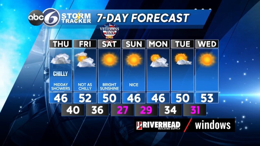
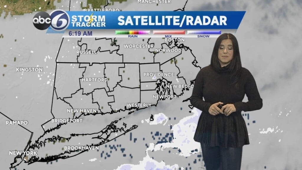
Clouds will be with us overnight as a weak storm system comes in from the west. As a warm front associated with this Low pressure system works toward southern New England there will be a scattered shower toward daybreak tomorrow morning and across northernmost RI there could even be a few ice pellets (sleet) mixed in. However, air and road temperatures will remain above freezing so expect only wet roads where any showers occur. Lows will drop between 33°-36°, there could be one or two isolated spots that touch 32° briefly before any rain shower moves in. If your travels take you into northern Worcester county early tomorrow morning there could be some slippery spots with more sleet and wet snow mixed with the rain in the higher elevations, mainly over 1000 feet.
Additional rain showers will cross RI during the midday hours 10am-2pm) and then the clouds will begin to break toward the evening as the storm center moves away. Highs will reach the mid 40s. As we head on into Friday we’ll see some sun, but overall a lot of clouds will rule the day as highs reach into the low 50s.
The weekend looks great with bright sunshine for Veteran’s Day Saturday and highs near 50°. It turns a bit cooler Sunday (mid 40s), but it will still be a sunny day! In fact, the extended outlook into the middle of next week looks to stay dry with just a slight warming trend.
ABC6 Meteorologist Bill Gile