Drier conditions into midweek
After evening showers and thunderstorms come to an end we’ll see the clouds beginning to clear away overnight and dewpoint temperatures starting to drop back toward the comfortable range, in the upper 50s and low 60s, as High pressure works in from the Great Lakes.
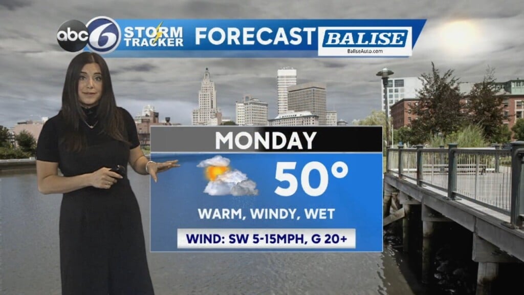
Monday will start with a good deal of sunshine, but puffy, dark based clouds will develop for the afternoon that may yield a hit or miss shower as a weak disturbance moves down from Maine. Highs will only be in the mid to upper 70s. A strong ridge of high pressure brings sunshine and lower humidity for Tuesday and Wednesday. However, as the high slides offshore, the very humid conditions will return for Thursday and last right into the upcoming weekend. Right now, it looks like the 4th of July will remain free of any showers in RI, but the threat is not zero as temperatures climb back into the mid 80s.