Dry and chilly Halloween before a cold rain and possible first freeze for the midweek
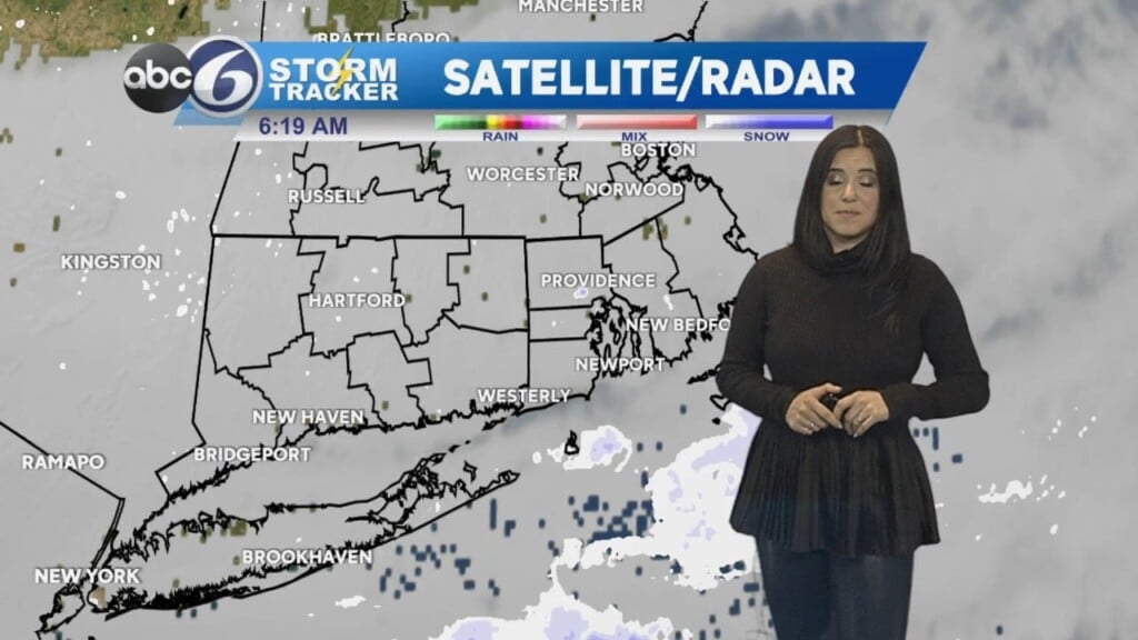
Showers will taper off tonight and skies will begin to clear towards Tuesday morning. It will be a dry Halloween with temperatures only in the 40s for most of the day.

Rain will move up from the south early on Wednesday morning, with areas well north and west even seeing some sleet or wet snowflakes mix in! (No accumulation is expected)

Skies will clear out Wednesday night and temperatures will plummet to near freezing – I anticipate a freeze watch to be issued by tomorrow.


There is a light at the end of the tunnel. The upcoming weekend will be warmer and dry – the first fully dry weekend since early September!

And don’t forget, daylight saving time ends Sunday morning, so you get an extra hour of sleep – but the sun will set around 4:30 on Sunday!!