Flakes to fly on Wednesday as water-enhanced snow showers continue
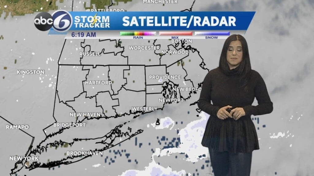
Skies will remain cloudy overnight as cold air continues to work into Southern New England.
The Cape is seeing some ocean/bay effect snow showers tonight as a result of north winds over the relatively warmer waters of the Atlantic Ocean and Cape Cod Bay.
These showers will shift further westward and may intensify some into Wednesday, leading to a coating of snow to as much as an inch for some.
Here is our first official ABC6 snow map of the season!

The snow will taper off later Wednesday as skies clear towards the evening. Expect frigid overnight lows that will drop into the low 20s – even scraping the teens for some!
Another cold day is expected Thursday with sun and clouds. We will begin to warm up on Friday and the weekend is looking quite mild as we return to the 50s.
Saturday will be dry with some sun, but more clouds will return Sunday setting the stage for rain Sunday night into Monday.
Have a great night!
-Meteorologist Geoff Bansen