Major coastal storm set to batter Southern New England
From heavy rain to damaging wind gusts and coastal flooding, impacts will be felt the most by Monday morning
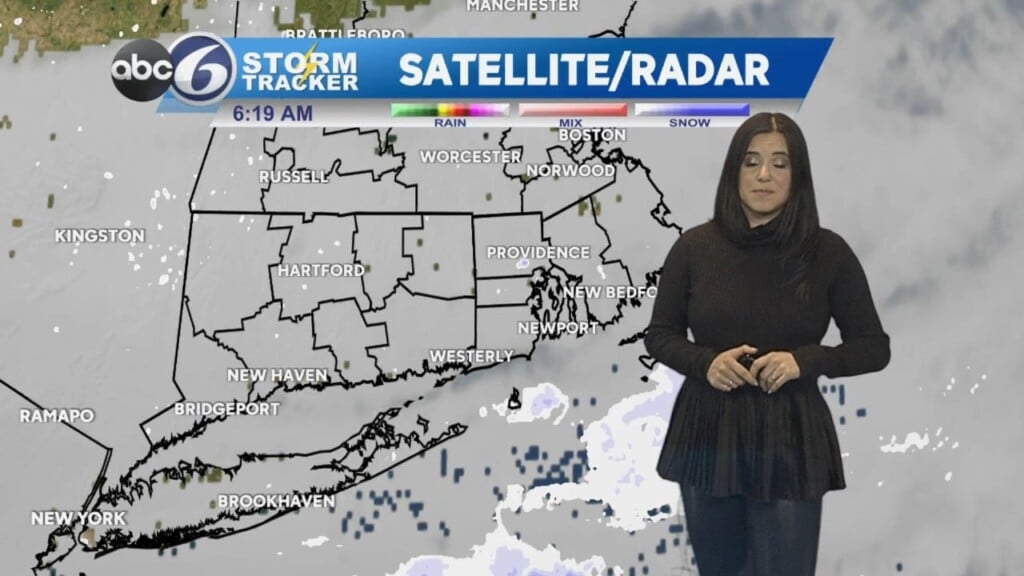
Good evening all. A few minor tweaks, but our forecast for tonight and Monday are still on track. The *High Wind Warning* as expanded for our entire viewing area earlier today. Winds will gust 40-60 mph with even higher numbers possible along coastal areas and the Cape. Power outages are expected, especially with around an inch of rain falling during the PM hours of Sunday, which will make the soil much looser preceding our highest wind gusts Monday morning. Ferry services will likely be postponed or canceled Monday with rough seas expected.
The Monday morning commute will be tricky with extensive ponding on the roadways. In addition to street flooding, river flooding is also expected with the runoff from all the rain. The rivers of greatest concern are the Pawtuxet River, Pawcatuck River, Wood River, and the Blackstone River. Since they are already running high from last week’s storm, moderate flooding is possible this time along the banks of these rivers. Lastly, *Coastal Flood Warning* remains in place for coastal Rhode Island during the Monday midday (10A-1P) high tides. The threat is less ominous for coastal Bristol, Massachusetts, which remains under the lower threat *Coastal Flood Advisory*. Inundation of 1-2 feet will make some coastal roads impassable during the time of high tide.
Rain will end Monday evening and the winds will begin to subside. Tuesday has trended drier, which much cooler air rushing in as well. Temperatures during our coastal storm event will be in the 55–60-degree range, which will return to seasonably chilly levels (40-45) for the remainder of the week. Much quieter weather is expected through week’s end as well.