Storm Tracker Alert: Heavy snow arrives Saturday night, some mixing/tapering into Sunday
Blustery winds will pick up into Sunday morning as well
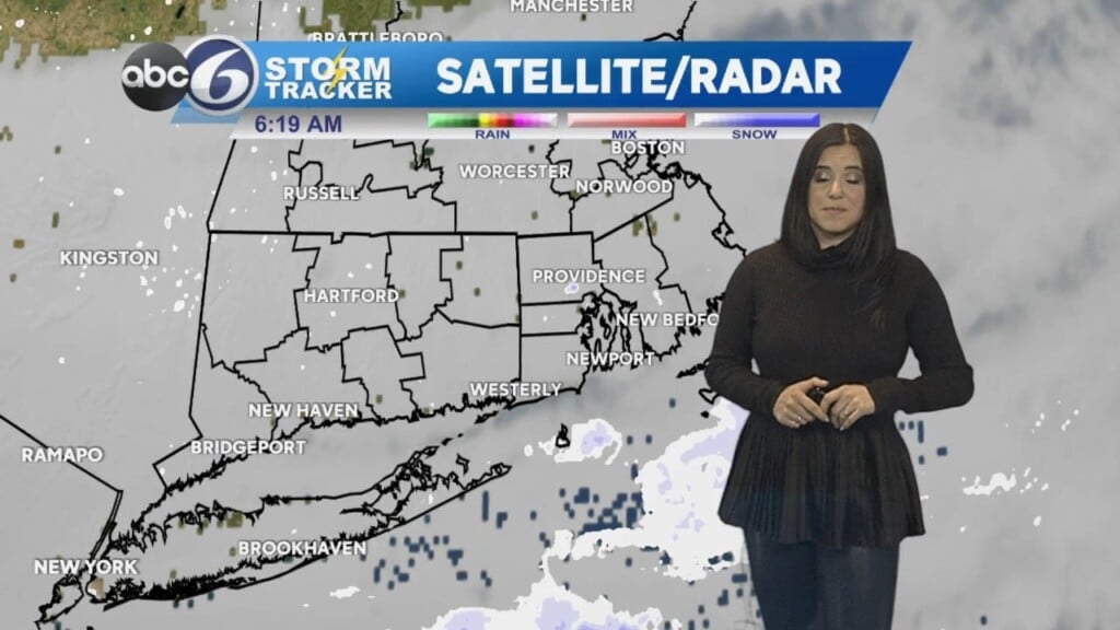
Another cold night out there with mainly clear skies. Clouds will move in on Saturday ahead of the storm, which is set to move into the region Saturday evening around 7pm.
Winter Storm Watches and Warnings are posted and will go into effect Saturday afternoon through Sunday night. The potential is for heavy snow, 6-12″ N/W of providence and significantly less S/E with rain mixing in. It is a very sharp cutoff!
The snow will become lighter into Sunday but a few strong wind gusts (30-40+) are likely, which could lead to spotty power outages when coupled with wet, heavy snow.
Expect icy conditions by Sunday evening as temperatures drop back below freezing. Drive with caution on Monday morning’s commute.
Dry conditions will prevail through Tuesday night before the next storm. This one will bring heavy rain and even stronger winds to the area. The flooding risk is elevated because of a potential 2-3″ of fresh rain combined with snow melt (temperatures will be in the 50s Wednesday!) River flooding could be significant by the end of the week as a result.