Tuesday Night storm to bring another heavy rain and high wind event
PROVIDENCE, R.I. (WLNE) — Weather conditions will remain quiet tonight into Tuesday, with increasing clouds tomorrow.
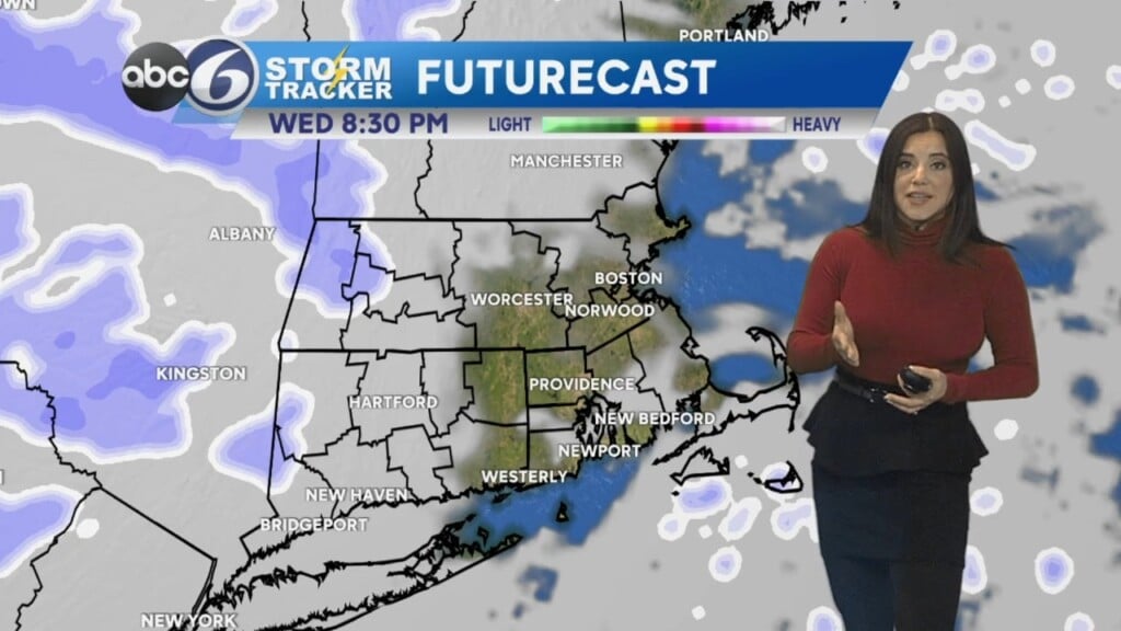
Light to moderate rain will begin as early as 3 or 4 p.m. and is expected to turn heavier by midnight through the duration of the storm. A general 2-3″ is expected, with highest totals trending western areas.
Winds will start to pickup during the evening and should begin getting gusty shortly before midnight. The peak of the winds and, thus, highest damage potential will be midnight to 6 a.m.
A squall line of non-severe thunderstorms looks to come through roughly around 4 or 5 a.m. that will contain some of the gustiest winds.
While conditions will rapidly improve on Wednesday, we will be seeing the rivers rapidly rising.
The current forecast is for minor to moderate flooding, main culprits from last time.
The Pawtuxet was the big issue previously, reaching a crest of over 15′ (major flood stage).
The timing of river flooding is not expected until later Wednesday, peaking around midday Thursday.
STAY WITH ABC6 FOR THE LATEST COVERAGE OF OUR NEXT STORM


