Warm, Wet and Windy Wednesday
If you’ve stepped, or even looked outside, chances are you’ve noticed the abrupt changes to the weather with our next storm approaching. Thanks to a southerly flow of warm air ahead of the storm, temperatures will be quite mild today– highs will hit the mid 50s! That said, it’ll be cloudy and breezy, with wind speeds increasing in the evening as the storm enters southern New England.
Expect a few showers scattered throughout Wednesday morning and afternoon, but the heavy rain and gustiest winds arrive Wednesday night around 9 PM. Rain & wind will continue until roughly 2 AM, with rain tapering off through early Thursday morning. By the time this storm is done, we’re expecting between 0.75-1.5″ of rain (a nuisance for now, but helpful to combat dry/drought conditions). Don’t be shocked if you hear a few rumbles of thunder with this system as well!
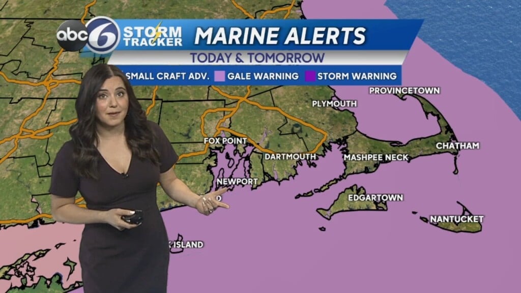
With gusty winds reaching the 30-5o mph range, we do have the potential for some minor coastal flooding. If you have to be out late tonight or very early tomorrow morning, stay vigilant on the roads and never drive over a flooded roadway!
We could still see a few drips and drops during your commute Thursday morning, but for the most part it’s just clouds and wind. Gusts will still likely be in the 20s and 30s at least through midday. Temperatures will remain in the mid 50s for highs.
Friday, cooler air starts to filter into New England and wind gusts kick back up. Expect a sunny, but very blustery day with highs in the low to mid 40s.
Saturday temperatures remain in the low to mid 40s– it’ll be partly sunny, and still windy as well with gusts in the 20s and 30s.
The wind finally calms down Sunday, although temperatures will drop to the upper 30s and low 40s– not brutal for this time of year, but a bit below average. We’ll see more sunshine to end the weekend!