Weekend winter storm to bring a bit of everything
The busy times are set to continue here in the weather center!
A frigid Valentine’s Day night is underway. Lows will bottom out in the teens tomorrow morning.
The cold air sets the stage for a quick snow event tomorrow evening. Here is the latest storm timeline:
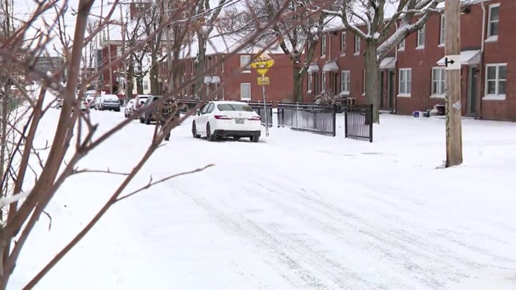
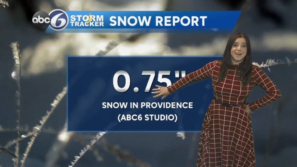
Anywhere from 1-4″ is expected across the area. The snow we get will get compacted/diluted/washed away by Sunday morning, leaving us with a slushy mess.
The bigger concern would be for any freezing rain across the area, but this will by no means be a major ice storm.
While the bigger areas for concern are CT and Western Mass, a light icy glaze is possible closer to home.
A soaking rain is then expected throughout the day Sunday, with occasional downpours and possibly even a rumble of thunder. Flooding is possible in poor-drainage areas.
The storm clears out quickly Sunday night and temperatures will plummet. This means that re-freezing of standing liquid will be the concern for Presidents Day morning.
We finally get a break of quiet weather longer than a day and a half, as Monday through Wednesday will be sunny.
However, we are already looking at our next possibility of snow for next Thursday. There has been a lot of buzz about this one, and the ingredients are there. Stay tuned!
–Geoff


